Is geolocation the new lat-long?

location_pick-up.png

If I want to hail a ride-sharing service I can give an address as my location. Unless I am at the rear of the building or in the parking lot across the street, in which case I need to fiddle about with a pin on a slippy map. No problem, I can usually eyeball it and then just look out for the driver.

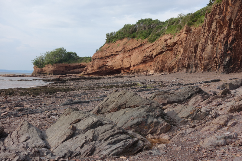
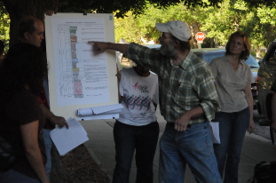
But there are other situations where an address won't do, and fiddling with pins isn't an option either. Telling the pizza company exactly where the delivery drone should land. Calling an ambulance to a remote area. Specifying a well location in the desert. Doing almost anything in the desert.

Wait, isn't this what latitude and longitude are for?

Sort of. I mean, it is what lat and long are for, but they aren't all that good at it. For one thing, there's the annoying problem of datums, which is even more annoying because hardly anyone realizes it's a problem.

Then there's the fact that to get better than 10 metre accuracy, you need 5 decimal places (or 1 decimal place in the seconds if we're talking DMS). So, even without the all-important datum, your average lat-long pair in N America would need at least 18 characters in decimal notation: 44.44845N64.37565W. This is not terribly user-friendly.

What are the alternatives?

In the last ten years or so, several alternatives to addresses and lat-longs have emerged. For example, one interesting geocoding system — geohash.org — encodes locations as strings of letters and digits. The location of my fictional 'pick up point' would be dxfhz5e4fxs. A bit of a mouthful perhaps but the system helpfully omits some easily confused characters, like lower-case L, and is case-insensitive. Another really nice feature: the string is big-endian so you can remove characters from the right to get a bit less precision.

In 2013, what3words burst onto the geolocation scene with an ingenious proprietary algorithm uniquely transforms the location of every 3 x 3 m square on Earth into three pronounceable words. My pick-up location becomes a cryptic crossword clue: dreadlocks.boarded.pageant. One feature of the scheme is that similar-sounding locations are not neighbours, avoiding near-miss confusion. For example, the square to the west of mine is called lawmakers.sieves.breezes, and the similar-sounding deadlock.boarded.pageant is in the middle of a field in New South Wales. Mercedes and Dominoes Pizza are experimenting with what3words.

More recently still, Open Location Codes have got some traction. Also called plus codes — a clue that they were invented by Google — they are a really nice example of a well-executed open standard, with fully open code, reference implementations in lots of languages, a public-facing website, and great documentation. My location's plus code is 87PQCJXF+9Q. Like the geohash, it can be shortened — but only in particular ways, for example, I could give the code as CJXF+9Q, Mahone Bay. Unlike what3words, Open Location Codes are free to use. My guess is that we'll be seeing them all over the place as self-driving cars and drones become more widespread.

Mapcodes, developed in about 2001, are yet another implementation of geocodes. Their main feature is the use of very short codes for densely populated places. However, there are some problems. For example, codes can be specified with or without country and region codes — but the different versions do not resemble each other.

For comparison, here's how I might describe my pick up location on the map at the top of this post:

 
geocodes_again.png
 

Useful for geoscience?

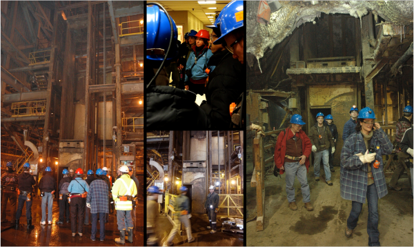
They certainly seem easier to wield that lat-long, and you don't need to worry about datums anymore, but perhaps they feel too new or ephemeral to catch on for some geospatial practitioners. I also wonder why no-one seems to have thought about the 3D problem yet... Which floor of the apartment building is this pizza going to? How far down this mine is the heart attack victim? At exactly what depth in this lake was the wreckage of the self-driving car found?

What do you think? will any of these schemes gain traction? Might any of them be useful in science or engineering applications? Will you be experimenting with them?


I can't leave the subject of geolocation codes without mentioning geohashing — a sort of cross between geocaching and professional nerdism. Invented in 2008 by xkcd creator, Randall Munroe, geohashing involves generating random locations via an MD5 hash, then visiting that location without getting lost or beaten up.

Update: You can access this algorithm right from Python: from antigravity import geohash

In search of the Kennetcook Thrust

Behind every geologic map, is a much more complex geologic truth. Most of the time it's hidden under soil and vegetation, forcing geologists into a detective game in order to fill gaps between hopelessly sparse spatterings of evidence.

Two weeks ago, I joined up with an assortment of geologists on the side of the highway an hour north of Halifax for John Waldron to guide us along some spectacular stratigraphy exposed in the coastline cliffs on the southern side of the Minas Basin (below). John has visited these sites repeatedly over his career, and he's supervised more than a handful of graduate students probing a variety of geologic processes on display here. He's published numerous papers teasing out the complex evolution of the Windsor-Kennetcook Basin: one of three small basins onshore Nova Scotia with the potential to contain economic quantities of hydrocarbons.

John retold the history of mappers past and present riddled by the massively deformed, often duplicated Carboniferous evaporites in the Windsor Group which are underlain by sub-horizontal seismic reflectors at depth. Local geologists agree that this relationship reflects thrusting of the near-surface package, but there is disagreement on where this thrust is located, and whether and where it intersects the surface. On this field trip, John showed us symptoms of this Kennetcook thrust system, at three sites. We started in the footwall. The second and third sites were long stretches spectacularly deformed exposures in the hangingwall.  

Footwall: Cheverie Point

SEE GALLERY BELOW FOR ENLARGEMENT

SEE GALLERY BELOW FOR ENLARGEMENT

The first stop was Cheverie Point and is interpreted to be well in the footwall of the Kennetcook thrust. Small thrust faults (right) cut through the type section of the Macumber Formation and match the general direction of the main thrust system. The Macumber Formation is a shallow marine microbial limestone that would have fooled anyone as a mudstone, except it fizzed violently under a drop of HCl. Just to the right of this photo, we stood on the unconformity between the petroliferous and prospective Horton Group and the overlying Windsor Group. It's a pick that turns out to be one of the most reliably mappable seismic events on seismic sections so it was neat to stand on that interface.

Further down section we studied the Mississippian Cheverie Formation: stacked cycles of point-bar deposits ranging from accretionary lag conglomerates to caliche paleosols with upright tree trunks. Trees more than a metre or more in diameter were around from the mid Devonian, but Cheverie forests are still early and good examples of trees within point-bars and levees.  

Hangingwall: Red Head / Johnson Beach / Split Rock

SEE GALLERY BELOW FOR ENLARGEMENT

SEE GALLERY BELOW FOR ENLARGEMENT

The second site featured some spectacularly folded black shales from the Horton Bluff Formation, as well as protruding sills up to two metres thick that occasionally jumped across bedding (right). We were clumsily contemplating the curious occurrence of these intrusions for quite some time until hard-rock guru Trevor McHattie halted the chatter, struck off a clean piece rock with a few blows of his hammer, wetted it with a slobbering lick, and inspected it with his hand lens. We all watched him in silence and waited for his description. I felt a little schooled. He could have said anything. It was my favourite part of the day.

Hangingwall continued: Rainy Cove

The patterns in the rocks at Rainy Cove are a wonderland for any structural geologist. It's a popular site for geology labs from Atlantic Universities, but it would be an absolute nightmare to try to actually measure the section here. 

SEE GALLERY BELOW FOR ENLARGEMENT

SEE GALLERY BELOW FOR ENLARGEMENT

John stands next to a small system of duplicated thrusts in the main hangingwall that have been subsequently folded (left). I tried tracing out the fault planes by following the offsets in the red sandstone bed amidst black shales whose fabric has been deformed into an accordion effect. Your picks might very well be different from mine.

A short distance away we were pointed to an upside-down view of load structures in folded beds. "This antiform is a syncline", John paused while we processed. "This synform over here is an anticline". Features telling of such intense deformation are hard to fathom. Especially in plain sight.

The rock lessons ended in the early evening at the far end of Rainy Cove where the Triassic Wolfville formation sits unconformably on top of ridiculously folded, sometimes doubly overturned Carboniferous Horton Rocks. John said it has to be one of the most spectacularly exposed unconformities in the world. 

I often take for granted the vast stretches of geology hiding beneath soil and vegetation, and the preciousness of finding quality outcrop. Check out the gallery below for pictures from our day.  

I was quite enamoured with John's format. His field trip technologies. The maps and sections: canvases for communication and works in progress. His white boarding, his map-folding techniques: a practised impresario.

What are some of the key elements from the best field trips you've been on? Let us know in the comments.

First appearance datum at Green Point

Armed with the Geologic Field Guide of Newfoundland, last week I ventured to one of the most intensely scrutinized outcrops in the world. Green Point in Gros Morne National Park provides continuous exposure to more than 30 million years of sediment accumulation in the Iapetus ocean. The rocks formed in deep water near the base of the ancient continental slope. It was awesome and humbling.

In January 2000, the International Union of Geological Sciences designated Green Point as a Global Stratotype Section and Point (GSSP). That's an official international reference point for the geologic time scale. I learned after the fact that there are only a handful of these in North America.

Researchers and students at Memorial University and elsewhere studied more than 10,000 fossils from Green Point, using tiny conodonts and delicate graptolites to locate the boundary between the Cambrian and Ordovician periods, 488 Ma in the past. They have narrowed it down to a single layer, Bed 23, that contains the first appearance of the conodant species, Iapetognathus fluctivagus.

To the best of my estimatation, I have indicated the location of Bed 23 with the white dashed line in the figure to the right, and with the pointing figure of my *ahem* geologic scale marker in the photograph below.

Snapshots from the Outcrop

Being the massive natural exhibition that it is, there are likely volumes of things to observe and measure at Green Point. I had no agenda whatsoever, but here are four observations that caught my interest:

  1. Cavities from core plugs at regularly spaced intervals. Each piece taken and studied as part of an international scientific experiment, aimed at accurately identifying major turning points in earth's history. 
  2. Small scale fault with some antithetic joints reminiscent of some artifacts I have seen on seismic.
  3. and 4. A faulted limestone conglomerate bed. Shown from two different points of view. I am increasingly curious about the nature of the aperture of deformation zones. Such formidable forces, such a narrow region of strain.

I left with a feeling that I am sure is felt by most geologists leaving a site of extreme interest. Did I make enough observations? Did I collect enough data? I wish I had a GigaPan, or maybe portable LiDAR station. I feel reconnected to the vastness of scales over which earth processes occur, and the heterogeneity caused by well-understood systems playing out over inconceivable expanses of time. 

I'd like to flip the outcrop 120° counterclockwise, and build another stupid seismic model. What could mathematicians, programmers, and geoscientists do at this outcrop? A digital playground for integration awaits.

Niobrara shale field trip

Mike Batzle explaining rock physics in the fieldOn my last day in Colorado, I went on a field trip to learn about the geology of the area. The main event was a trip to the Lyons Cemex quarry north of Boulder, where they mine the Niobrara formation to make cement. Interestingly, the same formation is being penetrated for oil and gas beneath the surface only a few thousand metres away. Apparently, the composition of the Niobrara is not desireable for construction or building materials, but it makes the ideal cement for drilling and completion operations. I find it almost poetic that the western-uplifted part of the formation is mined so that the eastern-deeper parts can be drilled; a geologic skin-graft, of sorts...
Read More

Best online geological maps

Fisk map of Mississippi RiverOne of Fisk's beautiful maps of the Mississippi River, near Readland, Arkansas. Click the map to see more detail.Like most earth scientists I know, I love maps. As a child, I pored over the AA Atlas of Britain on long car journeys. As a student, I spent hours making my first geological map. As an orienteer I learned to read maps running through rhododendron bushes in the rain. As a professional geoscientist, my greatest pleasure is still producing a fine map.

When I worked on the McMurray Formation of Alberta, my colleague came across Harold Fisk's incredible maps of the Mississippi River. These maps have to be seen to be believed, and for me they show how far computers have to go before they can be considered to have replaced paper. The effort and commitment is palpable. If I ever produce anything half as beautiful in my career, I will consider myself privileged. Even more marvellously, since they were made by the Army Corps of Engineers, they are all downloadable for free.

This resource made me wonder what other maps are out there on the web. Not surprisingly, there are lots, and some are quite special. Here's a list of my favourites:

No doubt I have missed some. If you have a favourite of your own, please add it to the comments or drop me a line and I'll be happy to post a follow-up.

Potash mine photo tour

On Friday, Matt and I went on a tour of the PCS potash mine in Penobsquis, New Brunswick, as a precursor to the 2011 Atlantic Geoscience Society Colloquium in Fredericton.

The evaporites of the Early Carboniferous Windsor Group were formed as a result of two marine incursions into an otherwise clastic red bed sequence within the Moncton sub-basin. The evaporites containing the potash ore have been folded into a NE-SW trending anticline as shown in the diagram below.

Brian Roulston hosted 24 visitors into the mine. We were lowered about 400 m down to the main workings then driven approximately 10 km underground to three main attractions: a cavern stope in the Basal Halite; an active stope in the halite; finally an active stope in the potash ore (sylvinite).

Thanks to Brian and his team at PCS for putting this tour together for us, it was so much fun.

Signage

People

Gear

Salts, rusts, colors, and textures 

Darkness

Mining the ore