
Geophysics at SciPy 2015
/
Yesterday was the geoscience day at SciPy 2015 in Austin.
At lunchtime, Paige Bailey (Chevron) organized a Birds of a Feather on GIS. This was a much-needed meetup for anyone interested in spatial data. It was useful to hear about the tools the fifty-or-so participants use every day, and a great chance to air some frustrations like Why is it so hard to install a geospatial stack? And questions like How do people make attractive maps with the toolset?
One way to make attractive maps is go beyond the screen and 3D print them. Almost any subsurface dataset could seem more tangible and believable as a 3D object, and Joe Kington (Chevron) showed us how to make data into objects. Just watch:
Matteus Ueckermann followed up with some virtual elevation models, showing how Python can process not just a few tiles of data, but can handle hydrology modeling for the entire world:
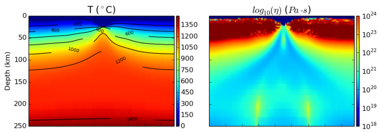
Nicola Creati (OGS, Trieste) showed us the PyGmod package, a new and fully parallel geodynamic simulation tool for HPC nuts. So now you can make more plate tectonic models before most people are out of bed!
We also heard from Lindsey Heagy and Gudnir Rosenkjaer from UBC, talking about various applications of Rowan Cockett's awesome SimPEG package to their work. As at the hackathon in Denver, it's very clear that this group's investment in and passion for a well-architected, integrated package is well worth the work, giving everyone who works with it superpowers. And, as we all know, superpowers are awesome. Especially geophysical ones.
Last up, I talked about striplog, a small package for handling interval and point data in logs, core, and other 1D datasets. It's still very immature, but almost ready for real-world users, so if you think you have a use case, I'd love to hear from you.
Today is the last day of the conference part, before we head into the coding sprints tomorrow. Stay tuned for more, or follow the #scipy2015 hashtag to keep up. See all the videos, which go up almost right after talks, on YouTube.


 Except where noted, this content is licensed