The elements of seismic interpretation
/I dislike the term seismic interpretation. There. I said it. Not the activity itself, (which I love), just the term. Why? Well, I find it's too broad to describe all of the skills and techniques of those who make prospects. Like most jargon, it paradoxically confuses more than it conveys. Instead, use one of these three terms to describe what you are actually doing. Note: these tasks may be performed in series, but not in parallel.
Visualizing
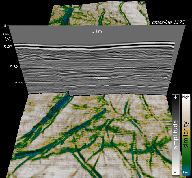
To visualize is to 'make something visible to the eye'. That definition fits pretty well in what we want to do. We want to see our data. It sounds easy, but it is routinely done poorly. We need context for our data. Being able to change the way our data looks, exploring and exaggerating different perspectives and scales, symbolizing it with perceptually pleasant colors, displaying it alongside other relevant information, and so on.
 Visualizing also means using seismic attributes. Being clever enough to judge which ones might be helpful, and analytical enough to evaluate from the range of choices. Even more broadly, visualizing is something that starts with acquisition and survey planning. In fact, the sum of processes that comprise the seismic experiment is to make the unseen visible to the eye. I think there is a lot of room left for bettering our techniques of visualization. Steve Lynch is leading the way on that.
Digitizing
 One definition of digitizing is along the lines of 'converting pictures or sound into numbers for processing in a computer'. In seismic interpretation, this usually means capturing and annotating lines, points, and polygons, for making maps. The seismic interpreter may spend the majority of their time picking horizons; a kind of computer-assisted drawing. Seismic digitization, however, is both guided and biased by human labor in order to delineate geologic features requiring further visualization.
Whether you call it picking, tracking, correlating or digitizing, seismic interpretation always involves some kind of drawing. Drawing is a skill that should be celebrated and practised often. Draw, sketch, illustrate what you see, and do it often. Even if your software doesn't let you draw it the way an artist should.
Modeling
The ultimate goal of the seismic interpreter, if not all geoscientists, is to unambiguously parameterize the present-day state of the earth. There is after all, only one true geologic reality manifested along only one timeline of events.
Even though we are teased by the sparse relics that comprise the rock record, the earth's dynamic history is unknowable. So what we do as interpreters is construct models that reflect the dynamic earth arriving at its current state.
Modeling is another potentially dangerous jargon word that has been tainted by ambiguity. But in the strictest sense, modeling defines the creative act of bringing geologic context to bear on visual and digital elements. Modeling is literally the process of constructing physical parameters of the earth that agree with all available observations, both visualized and digitized. It is the cognitive equivalent of solving a mathematical inverse problem. Yes, interpreters do inversions all the time, in their heads.
Good seismic interpretation requires practising each of these three elements. But indispensable seismic interpretation is achieved only when they are masterfully woven together.
Recommended reading
Steve Lynch's series of posts on wavefield visualization at 3rd Science is a good place to begin.


 Except where noted, this content is licensed