This year's social coding events

If you've always wondered what goes on at our hackathons, make 2018 the year you find out. There'll be plenty of opportunities. We'll be popping up in Salt Lake City, right before the AAPG annual meeting, then again in Copenhagen, before EAGE. We're also running events at the AAPG and EAGE meetings. Later, in the autumn, we'll be making some things happen around SEG too. 

If you just want to go sign up right now, head to the Events page. If you want more deets first, read on.

Salt Lake City in May: machine learning and stratigraphy

This will be one of our 'traditional' hackathons. We're looking for 7 or 8 teams of four to come and dream up, then hack on, new ideas in geostatistics and machine learning, especially around the theme of stratigraphy. Not a coder? No worries! Come along to the bootcamp on Friday 18 May and acquire some new skills. Or just show up and be a brainstormer, tester, designer, or presenter.

Thank you to Earth Analytics for sponsoring this event. If you'd like to sponsor it too, check out your options. The bottom line is that these events cost about $20,000 to put on, so we appreciate all the help we can get. 

It doesn't stop with the hackathon demos on Sunday. At the AAPG ACE, Matt is part of the team bringing you the Machine Learning Unsession on Wednesday afternoon. If you're interested in the future of computation and geoscience, come along and be heard. It wouldn't be the same without you.

Copenhagen in June: visualization and interaction

After events in Vienna in 2016 and Paris in 2017, we're looking forward to being back in Europe in June. The weekend before the EAGE conference, we'll be hosting the Subsurface Hackathon once again. Partnering with Dell EMC and Total E&P, as last year, we'll be gathering 60 eager geoscientists to explore data visualization, from plotting to virtual reality. I can't wait.

In the EAGE Exhibition itself, we're cooking up something else entirely. The Codeshow is a new kind of conference event, mixing coding tutorials with demos from the hackathon and even some mini-hackathon projects to get you started on your own. It's 100% experimental, just the way we like it.

Anaheim in October: something exciting

We'll be at SEG in Anaheim this year, in the middle of October. No idea what exactly we'll be up to, but there'll be a hackathon for sure (sign up for alerts here). And tacos, lots of those. 

You can get tickets to most of these events on the Event page. If you have ideas for future events, or questions about them, drop us a line or leave a comment on this post!


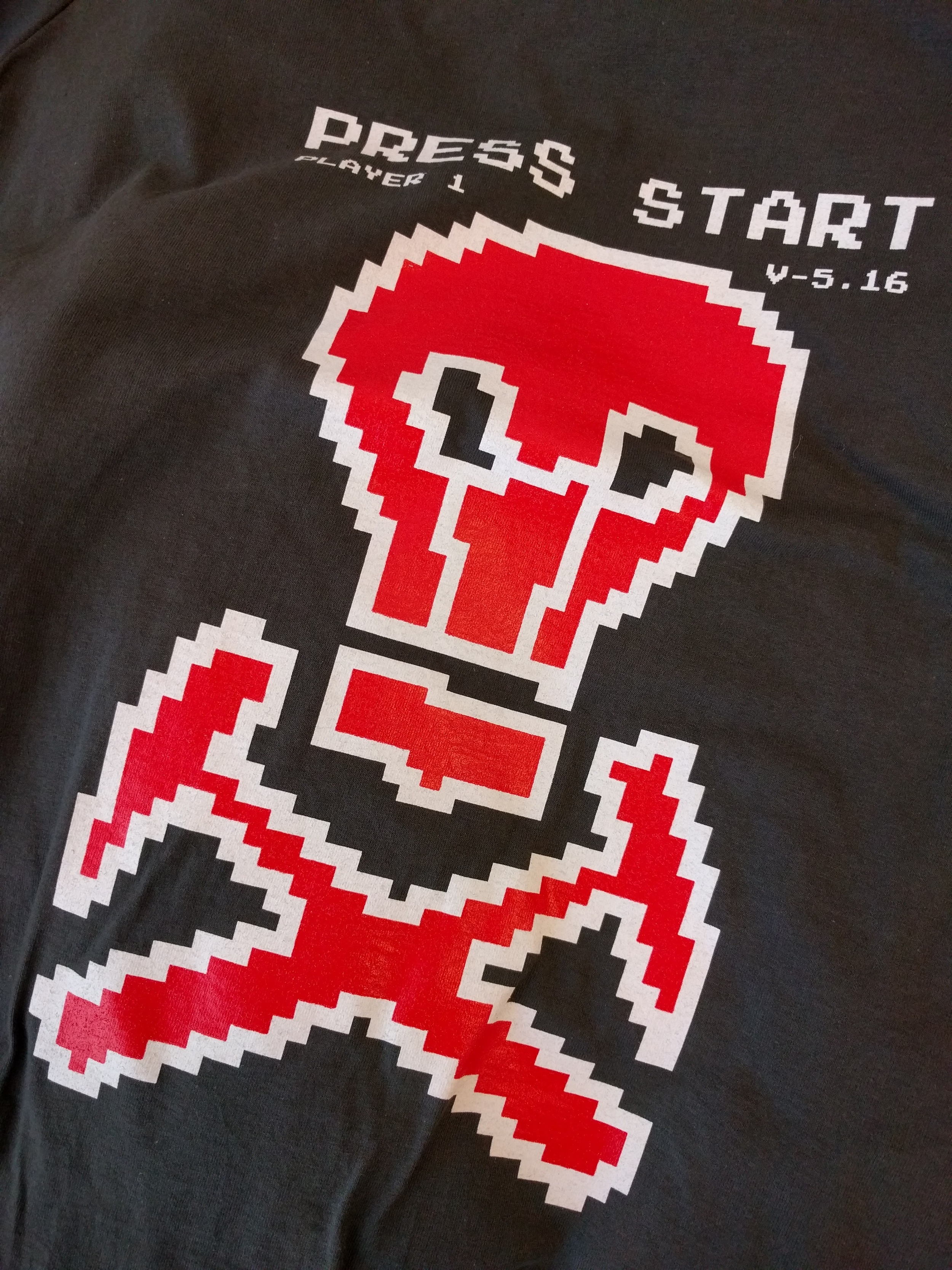
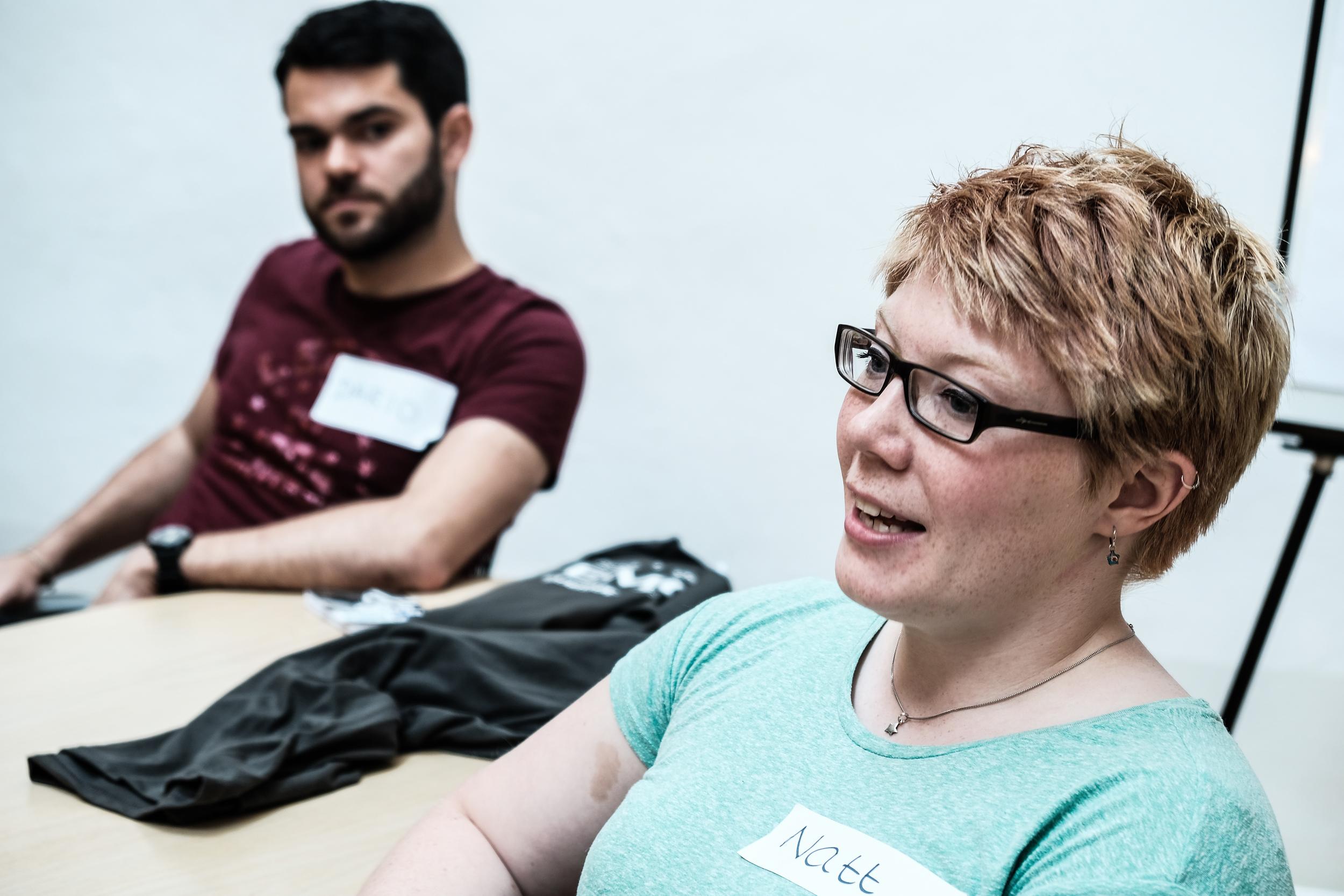
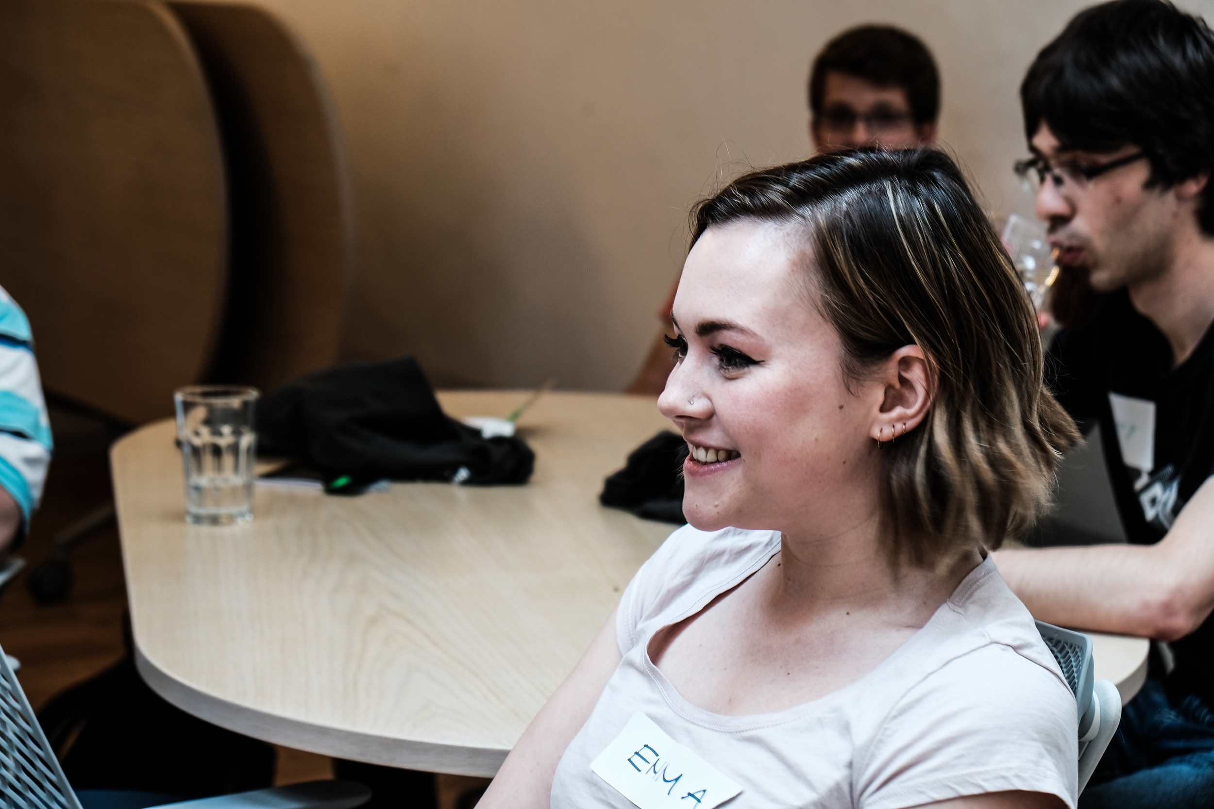
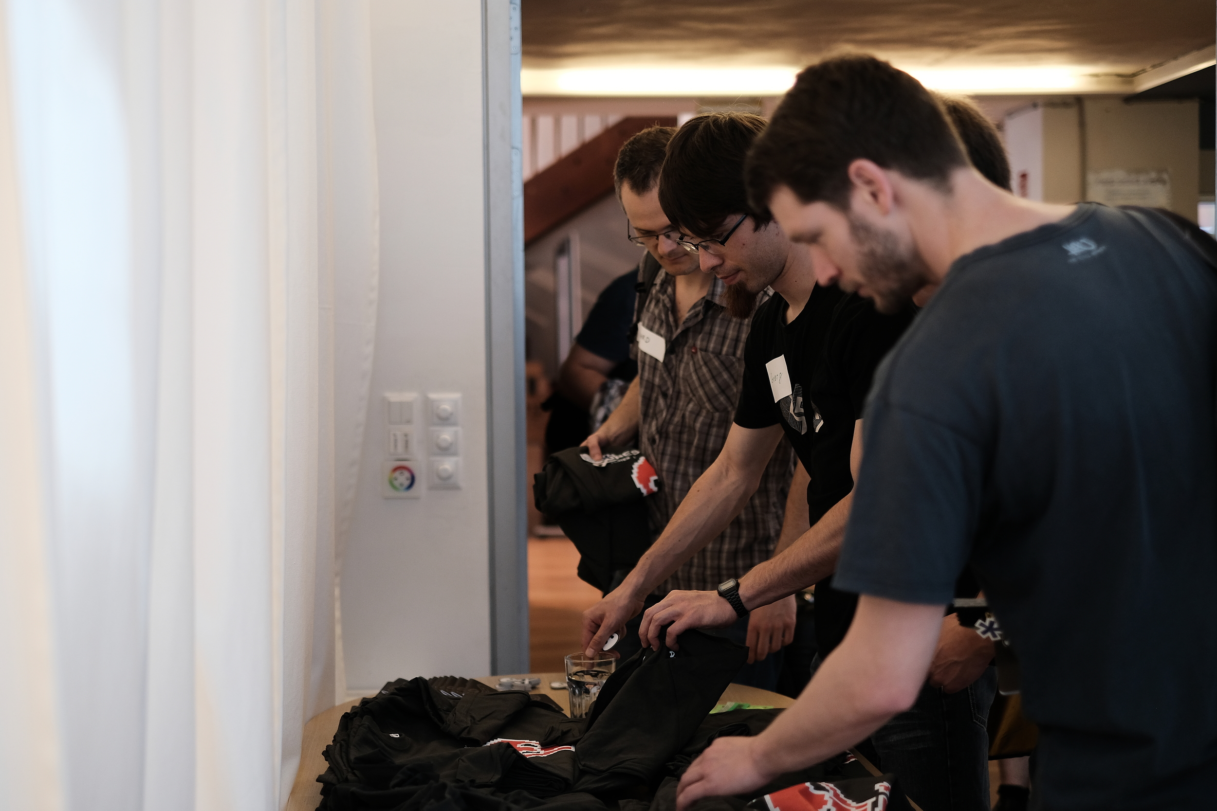
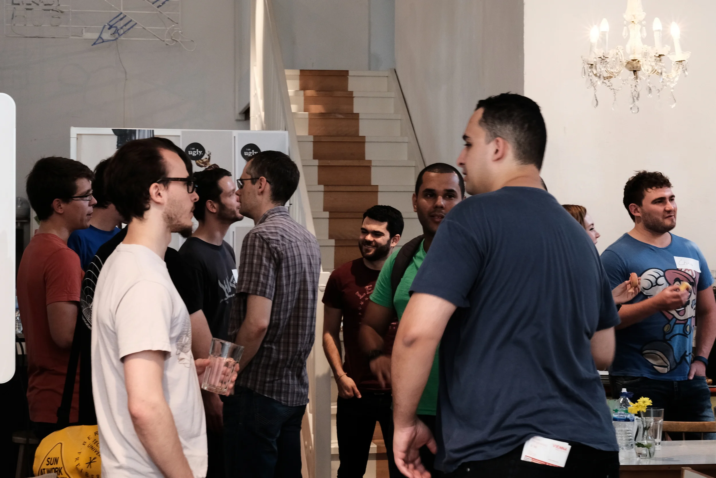
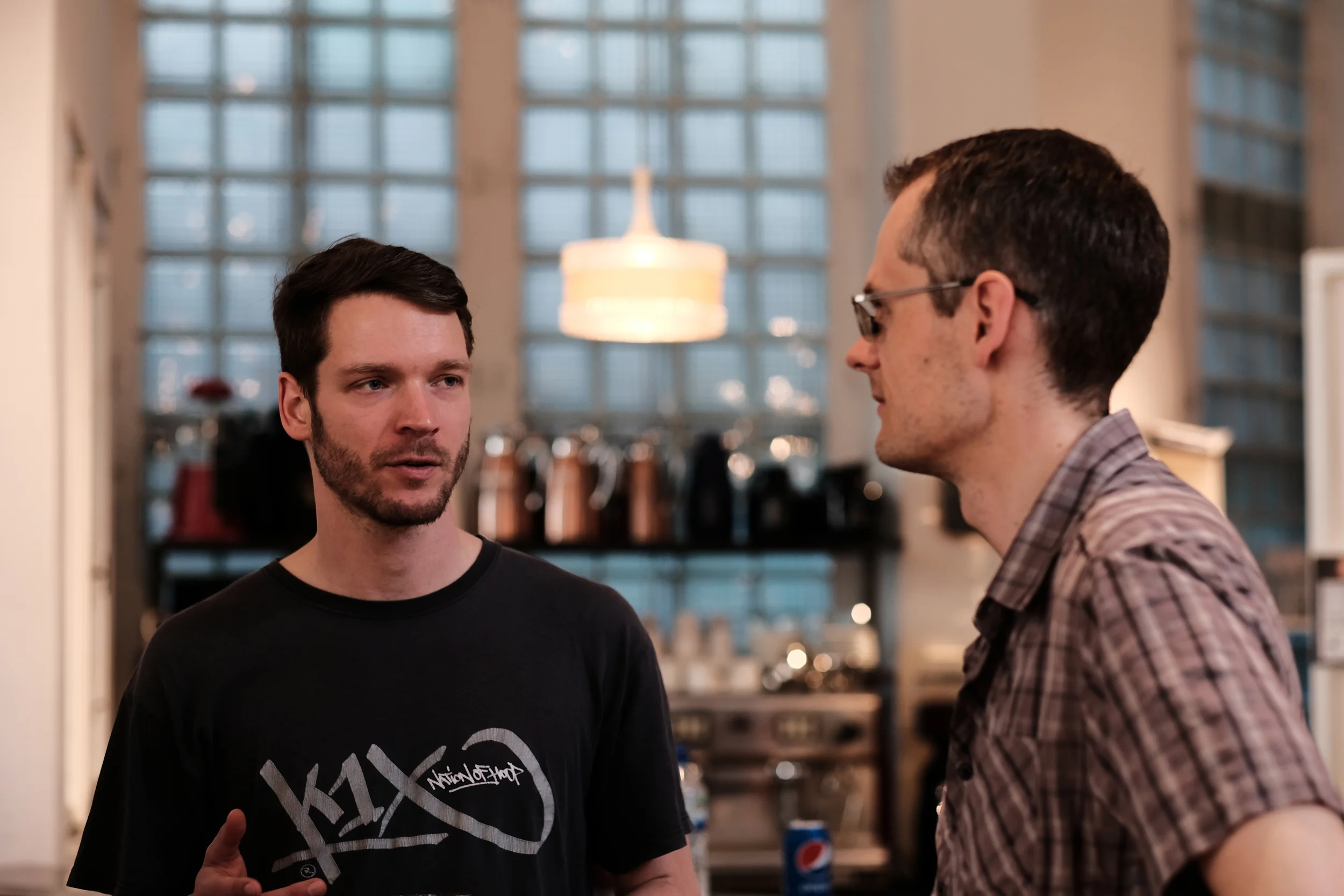
I'll leave you with a short and belated look at the hackathon in Paris last year...

A quick look at the Subsurface Hackathon in Paris, June 2017. 

Le meilleur hackathon du monde

hackathon_2017_calendar.png

Hackathons are short bursts of creative energy, making things that may or may not turn out to be useful. In general, people work in small teams on new projects with no prior planning. The goal is to find a great idea, then manifest that idea as something that (barely) works, but might not do very much, then show it to other people.

Hackathons are intellectually and professionally invigorating. In my opinion, there's no better team-building, networking, or learning event.

The next event will be 10 & 11 June 2017, right before the EAGE Conference & Exhibition in Paris. I hope you can come.

The theme for this event will be machine learning. We had the same theme in New Orleans in 2015, but suffered a bit from a lack of data. This time we will have a collection of open datasets for participants to build off, and we'll prime hackers with a data-and-skills bootcamp on Friday 9 June. We did this once before in Calgary – it was a lot of fun. 

Can you help?

It's my goal to get 52 participants to this edition of the event. But I'll need your help to get there. Please share this post with any friends or colleagues you think might be up for a weekend of messing about with geoscience data and ideas. 

Other than participants, the other thing we always need is sponsors. So far we have three organizations sponsoring the event — Dell EMC is stepping up once again, thanks to the unstoppable David Holmes and his team. And we welcome Sandstone — thank you to Graham Ganssle, my Undersampled Radio co-host, who I did not coerce in any way.

sponsors_so_far.png

If your organization might be awesome enough to help make amazing things happen in our community, I'd love to hear from you. There's info for sponsors here.

If you're still unsure what a hackathon is, or what's so great about them, check out my November article in the Recorder (Hall 2015, CSEG Recorder, vol 40, no 9).

Automated interpretation highlights

As you probably know by know, I've been at the EAGE conference in Vienna this week. I skipped out yesterday and flew over to the UK for a few days. I have already written plenty about the open source workshop, and I will write more soon about the hackathon. But I thought I'd pass on my highlights from the the Automated Interpretation session on Tuesday. In light of Monday's discussion, I made a little bit of a nuisance of myself by asking the same post-paper question every time I got the chance:

Can I use your code, either commercially or for free?

I'll tell you what the authors responded.


The universal character of salt

I especially enjoyed the presentation by Anders Waldeland and Anne Solberg (University of Oslo) on automatically detecting salt in 3D seismic. (We've reported on Anne Solberg's work before.) Anders described training eight different classifiers, from a simple nearest mean to a neural network, a supprt vector model, and a mixture of Gaussians classifier. Interestingly, but not surprisingly, the simplest model turned out to be the most effective at discrimination. He also tried a great many seismic attributes, letting the model choose the best ones. Three attributes consistently proved most useful: coherency, Haralick energy (a GLCM-based texture attribute), and the variance of the kurtosis of the amplitude distribution (how's that for meta?). What was especially interesting about his approach was that he was training the models on one dataset, and predicting on an entirely different 3D. The idea is that this might reveal the universal seismic characteristics of salt. When I asked the golden question, he said "Come and talk to me", which isn't a "yes", but it isn't a "no" either.

Waldeland and Solberg 2016. Salt probability in a North Sea dataset (left) and the fully tracked volume (right). The prediction model was trained on a Gulf of Mexico dataset. Copyright of the authors and EAGE, and used under a Fair Use claim.

Waldeland and Solberg 2016. Salt probability in a North Sea dataset (left) and the fully tracked volume (right). The prediction model was trained on a Gulf of Mexico dataset. Copyright of the authors and EAGE, and used under a Fair Use claim.

Secret horizon tracker

Horizons tracked with Figueiredo et al's machine learning algorithm. The horizons correctly capture the discontinuities. Copyright of the authors and EAGE. Used under a Fair Use claim.

Horizons tracked with Figueiredo et al's machine learning algorithm. The horizons correctly capture the discontinuities. Copyright of the authors and EAGE. Used under a Fair Use claim.

The most substantial piece of machine learning I saw was Eduardo Figueiredo from Pontifical Catholic University in Rio, in the same session as Waldeland. He's using a neural net called Growing Neural Gas to classify (aka or 'label') the input data in a number of different ways. This training step takes a little time. The label sets can now be compared to decide on the similarity between two samples, based on the number of labels the samples have in common but also including a comparison to the original seed, which essentially acts as a sort of brake to stop things running away. This progresses the pick. If a decision can't be reached, a new global seed is selected randomly. If that doesn't work, picking stops. Unfortunately he did not show a comparison to an ordinary autotracker, either in terms of time or quality, but the results did look quite good. The work was done 'in cooperation with Petrobras', so it's not surprising the code is not available. I was a bit surprised that Figueiredo was even unable to share any details of the implementation.

More on interpretation

The other two interesting talks in the session were two from Paul de Groot (dGB Earth Sciences) and Gaynor Paton (GeoTeric). Paul introduced the new Thalweg Tracker in OpendTect — the only piece of software from the session that you can actually run, albeit for a fee — which is a sort of conservative voxel tracker. Unsurprisingly, Paul was also very thorough with his examples, and his talk served as a tutorial in how to make use of, and give attribution to, open data. (I'm nearly done with the grumbling about openness for now, I promise, but I can't help mentioning that I find it a bit ironic that those scientists unwilling to share their work are also often a bit lax with giving credit to others whose work they depend on.)

Gaynor's talk was about colour, which you may know we enjoy thinking about. She had gathered 24 seismic interpreters, five of whom had some form of colour deficiency. She gave the group some interpretation tasks, and tried to gauge their performance in the tasks. It seemed interesting enough, and I immediately wondered if we could help out with Pick This, especially to help grow the sample size, and by blinding the study. But the conclusion seemed to be that, if there are ways in which colour blind interpreters are less capable at image interpretation, for example where hue is important, they compensate for it by interpreting other aspects, such as contrast and shape. 

Paton's research into how colour deficient people interpret attributes. There were 5 colour deficient subjects and 19 colour normal. The colour deficient subjects were more senstive to subtle changes in saturation and to feature shapes. Image c…

Paton's research into how colour deficient people interpret attributes. There were 5 colour deficient subjects and 19 colour normal. The colour deficient subjects were more senstive to subtle changes in saturation and to feature shapes. Image copyright Paton and EAGE, and used here under a fair use claim.

That's it for now. I have a few other highlights to share; I'll try to get to them next week. There was a bit of buzz around the Seismic Apparition talks from ETHZ and Statoil, for example. If you were at the conference, I'd love to hear your highlights too, please share them in the comments.

References

A.U. Waldeland* (University of Oslo) & A.H.S. Solberg (University of Oslo). 3D Attributes and Classification of Salt Bodies on Unlabelled Datasets. 78th EAGE Conference & Exhibition 2016. DOI 10.3997/2214-4609.201600880. Available in EarthDoc.

M. Pelissier (Dagang Zhaodong Oil Company), C. Yu (Dagang Zhaodong Oil Company), R. Singh (dGB Earth Sciences), F. Qayyum (dGB Earth Sciences), P. de Groot* (dGB Earth Sciences) & V. Romanova (dGB Earth Sciences). Thalweg Tracker - A Voxel-based Auto-tracker to Map Channels and Associated Margins. 78th EAGE Conference & Exhibition 2016. DOI 10.3997/2214-4609.201600879. Available in EarthDoc. 

G. Paton* (GeoTeric). The Effect of Colour Blindness on Seismic Interpretation. 78th EAGE Conference & Exhibition 2016. DOI 10.3997/2214-4609.201600883. Available in EarthDoc.

A.M. Figueiredo* (Tecgraf / PUC-Rio), J.P. Peçanha (Tecgraf / PUC-Rio), G.M. Faustino (Tecgraf / PUC-Rio), P.M. Silva (Tecgraf / PUC-Rio) & M. Gattass (Tecgraf / PUC-Rio). High Quality Horizon Mapping Using Clustering Algorithms. 78th EAGE Conference & Exhibition 2016. DOI 10.3997/2214-4609.201600878. Available in EarthDoc.

Open source FWI, I mean geoscience

I'm being a little cheeky. Yesterday's Open Source Geoscience workshop at EAGE was not really only about full waveform inversion (FWI). True, it was mostly about geophysics, but there was quite a bit of new stuff too.

But there was quite a bit on FWI.

The session echoed previous EAGE sessions on the same subject in 2006 and 2012, and was chaired by Filippo Broggini (of ETH Zürich), Sergey Fomel (University of Texas), Thomas Günther (LIAG Hannover), and Russell Hewett (Total, unfortunately not present). It started with a look at core projects like Madagascar and OpendTect. There were some (for me) pretty hard core, mathematics-heavy contributions. And we got a tour of some new and newish projects that are seeking users and/or contributors. Rather than attempting to cover everything, I'm going to exercise my (biased and ill-gotten) judgment and focus on some highlights from the day.

Filippo Broggini started by reminding us of why Joe Dellinger (BP) started this recurrent workshop a decade ago. Here's how Joe framed the value of open source to our community:

The economic benefits of a collaborative open-source exploration and production processing and research software environment would be enormous. Skilled geophysicists could spend more of their time doing innovative geophysics instead of mediocre computer science. Technical advances could be quickly shared and reproduced instead of laboriously re-invented and reverse-engineered. Oil companies, contractors, academics, and individuals would all benefit.

Did I mention that he wrote that 10 years ago?

Lessons learned from the core projects

Kristofer Tingdahl (dGB) then gave the view from his role as CEO of dGB Earth Sciences, the company behind OpendTect, the free and open source geoscience interpretation tool. He did a great job of balancing the good (their thousands of users, and their SEG Distinguished Achievement Award 2016) with the less good (the difficulty of building a developer community, and the struggle to get beyond only hundreds of paying users). His great optimism and natural business instinct filled us all with hope.

The irrepressible Sergey Fomel summed up 10 years of Madagascar's rise. In the journey from v0.9 to v2.0, the projects has moved from SourceForge to GitHub, gone from 6 to 72 developers, jumped from 30 to 260 reproducible papers, and been downloaded over 40 000 times. He also shared the story of his graduate experience at Stanford, where he was involved in building the first 'reproducible science' system with Jon Claerbout in the early 1990s. Un/fortunately, it turned out to be unreproducible, so he had to build Madagascar.

It's not (yet?) a core project, but John Stockwell (Colorado School of Mines) talked about OpenSeaSeis and barely mentioned SeismicUnix. This excellent little seismic processing project is now owned by CSM, after its creator, Bjoern Olofsson, had to give it up when he went to work for a corporation (makes sense, right? o_O ). The tool includes SeaView, a standalone SEGY viewer, as well as a graphical processing flow composer called XSeaSeis. IT prides itself on its uber-simple architecture (below). Want a gain step? Write gain.so and you're done. Perfect for beginners.

Jeffrey Shragge (UWA), Bob Clapp (SEP), and Bill Symes (Rice) provided some perspective from groups solving big math problems with big computers. Jeff talked about coaxing Madgascar — or M8R as the cool kids apparently refer to it — into the cloud, where it can chomp through 100 million core hours without setting tings on fire. This is a way for small enterprises and small (underfunded) research teams to get big things done. Bob told us about a nifty-looking HTML5 viewer for subsurface data... which I can't find anywhere. And Bill talked about 'mathematical fidelty'. and its application to solving large, expensive problems without creating a lot of intermediate data. His message: the mathematics should provide the API.

New open source tools in geoscience

The standout of the afternoon for me was University of Vienna post-doc Eun Young Lee's talk about BasinVis. The only MATLAB code we saw — so not truly open source, though it might be adapted to GNU Octave — and the only strictly geological package of the day. To support her research, Eun Young has built a MATLAB application for basin analysis, complete with a GUI and some nice visuals. This one shows a geological surface, gridded in the tool, with a thickness map projected onto the 'floor' of the scene:

I'm poorly equipped to write much about the other projects we heard about. For the record and to save you a click, here's the list [with notes] from my 'look ahead' post:

  • SES3D [presented by Alexey Gokhberg], a package from ETHZ for seismic modeling and inversion.
  • OpenFOAM [Gérald Debenest], a new open source toolbox for fluid mechanics.
  • PyGIMLi [Carsten Rücker], a geophysical modeling and inversion package.
  • PySIT [Laurent Demanet], the Python seismic imaging toolbox that Russell Hewett started while at MIT.
  • Seismic.jl [Nasser Kazemi] and jInv [Eldad Haber], two [modeling and inversion] Julia packages.

My perception is that there is a substantial amount of overlap between all of these packages except OpenFOAM. If you're into FWI you're spoilt for choice. Several of these projects are at the heart of industry consortiums, so it's a way for corporations to sponsor open source projects, which is awesome. However, most of them said they have closed-source components which only the consortium members get access to, so clearly the messaging around open source — the point being to accelerate innovation, reduce bugs, and increase value for everyone — is missing somewhere. There's still this idea that secrecy begets advantage begets profit, but this idea is wrong. Hopefully the other stuff, which may or may not be awesome, gets out eventually.


I gave a talk at the end of the day, about ways I think we can get better at this 'openness' thing, whatever it is. I will write about that some time soon, but in the meantime you're welcome to see my slides here.

Finally, a little time — two half-hour slots — was set aside for discussion. I'll have a go at summing that up in another post. Stay tuned!

BasinVis image © 2016 Eun Young Lee, used with permission. OpenSeaSeis image © 2016 Center for Wave Phenomena

READY PLAYER 1

The Subsurface Hackathon 2016 is over! Seventeen hackers gathered for the weekend at Impact HUB Vienna — an awesome venue and coworking space — and built geoscience-based games. I think it was the first geoscience hackathon in Europe, and I know it was the first time a bunch of geoscientists have tried to build games for each other in a weekend.

What went on 

The format of the event was the same as previous events: gather on Saturday, imagine up some projects, start building them by about 11 am, and work on them until Sunday at 4. Then some demos and a celebration of how amazingly well things worked out. All interspersed with coffee, food, and some socializing. And a few involuntary whoops of success.

What we made

The projects were all wonderful, but in different ways. Here's a quick look at what people built:

  • Trap-tris — a group of lively students from the University of Leeds and the Technical University of Denmark built a version of Tetris that creates a dynamic basin model. 
  • Flappy Seismic — another University of Leeds student, one from Imperial College, and a developer from Roxar, built a Flappy Bird inspired seismic interpretation game.
  • DiamonChaser (sic) — a team of devs from Giga Infosystems in Freiberg built a very cool drilling simulation game (from a real geomodel) aimed at young people.
  • Guess What — a developer from Spain and two students from UNICAMP in Brazil built a 'guess the reflection coefficient' game for inverting seismic.

I will write up the projects properly in a week or two (this time I promise :) so you can see some screenshots and links to repos and so on... but for now here are some more pictures of the event.

The fun this year was generously sponsored by EMC. David Holmes, the company's CTO (Energy), spent his weekend hanging out at the venue, graciously mentoring the teams and helping to provide some perspective or context, and help carrying pizza boxes through the streets of Vienna, when it was needed.


Click on the hackathon tag below to read about previous hackathons

Look ahead to EAGE 2016

I'm in Vienna for the 78th EAGE Conference and Exhibition, at Wien Messe, starting on Sunday. And, of course, for the Subsurface Hackathon, which I've already mentioned a few times. 

The hackathon, is, as usual, over the weekend. It starts tomorrow, in this amazing coworking space. That's @JesperDramsch there, getting ready for the hackathon!

I know this doesn't suit everyone, but weekdays don't suit everyone either. I've also always wanted to get people out of 'work mode', into the idea that they can create whatever they want. Maybe we'll try one during the week some time; do let me know what you think about it in the comments. Feedback helps.

Don't worry, you will hear more about the hackathon. Stay tuned.

Open source software in applied geosciences

The first conference event I'll be at is the workshop on open source software. This follows up on similar get-togethers in Copenhagen in 2012 and in Vienna in 2006. I hope the fact that the inter-workshop interval is getting shorter is a sign that open source geoscience software is gaining traction!

The workshop is being organized by Filippo Broggini (of ETH Zürich), Sergey Fomel (University of Texas), Thomas Günther (LIAG Hannover), and Russell Hewett (Total). They have put together a great-looking program. In the morning, Kristofer Tingdahl (CEO of dGB Earth Sciences) will talk about business models for open source. Then Sergey Fomel will update us on Madagascar seismic processing toolbox. Finally, in a series of talks, Jeff Shragge (Univ. Western Australia), Bob Clapp (Stanford), and Bill Symes (Rice) will talk about using Madagascar and other geophysical imaging and inversion tools at a large scale and in parallel.

After lunch, there's a veritable parade of updates and new stuff, with all of these projects checking in:

  • OpenSeaSeis, which raised a lot of eyebrows in 2012 for its general awesomeness. Now a project at Colorado School of Mines.
  • SES3D, a package from ETHZ for seismic waveform modeling and inversion.
  • BasinVis, a MATLAB program for modeling basin fill and subsidence (woo! Open source geology!!)
  • OpenFOAM, a new open source toolbox for fluid mechanics.
  • PyGIMLi, a geophysical modeling and inversion package.
  • PySIT, the Python seismic imaging toolbox that Russell Hewett started while at MIT.
  • Seismic.jl and jInv (that's j-inv), two Julia packages you need to know about.

Aaaand at the very end of the day, is a talk from your truly on 'stuff we can do to get more open source goodness in geoscience'. I'll post some version of the talk here when I can.

Talks and stuff

I don't have any plans for Tuesday and Wednesday, other than taking in some talks and posters. I'm missing Thursday. Picking talks is hard, especially when there are 15 (yup) parallel sessions,... and that's just the oral presentations. (Hey! Conference organizer people! That's crazy!) These conference apps that get ever-so-slightly-better each year won't be really useful until they include a recommendation engine of some sort. I'd like two kinds of recommendation: "stuff that's aligned with my interests but you will disagree with everyone in there", and "stuff that doesn't seem to be aligned with my interests, but maybe it really is".

Oh and also "stuff that isn't too far away from the room I'm in right now because I only have 80 seconds to get there".

Anyway, I haven't chosen my sessions yet, let alone started to trawl through the talk titles. You can probably guess the session titles — Carbonate Petrophysics, Multiple Attenuation, Optimizing Full Waveform Marine Acquisition for Quantitative Exploration II (just kidding).

There are some special sessions I may seek out. There's one for professional women in geoscience and engineering, and two for young professionals, one of which is a panel discussion. Then there are two 'dedicated sessions': Integrated Data for Geological and Reservoir Models, and Towards Exascale Geophysical Applications, which sounds intriguing... but their programmes look like the usual strings of talks, so I'm not sure why they're singled out. There's also something called EAGE Forum, but I can't tell what that is.


Arbitrary base 10 milestone!

I don't pay as much attention to blog stats as I used to, but there is one number that I've been keeping an eye on lately: the number of posts. This humble little post is the 500th on this blog! Kind of amazing, though I'm not sure what it says about me and Evan, in terms of making sound decisions about how we spend our evenings. I mean, if each post is 600 words,... that's two good-sized novels!

I'm not saying they're good novels...

The images of the Impact HUB Vienna that don't have Jesper in them are CC-BY-SA by the HUB.

A European geo-gaming hackathon

I'm convinced that hackathons are the best way to get geoscientists and engineers inventing and collaborating in new ways. They are better for learning than courses. They are better for networking than parties. And they nearly always have tacos! 

If you are unsure what a hackathon is, or why I'm so enthusiastic about them, you can read my November article in the Recorder (Hall 2015, CSEG Recorder, vol 40, no 9).

The next hackathon will be 28 and 29 May in Vienna, Austria — right before the EAGE Conference and Exhibition. You can sign up right now! Please get it in your calendar and pass it along.

Throwing down the gauntlet

Colorado School of Mines has dominated the student showing at the last 2 autumn hackathons. I know there are plenty more creative research groups out there. Come out and show the world your awesomeness — in teams of up to 4 people — and spend a weekend learning and coding. Also: there will be beer.

To everyone else: this is not a student event, it's for everyone. Most of the participants in the past have been professionals, but the more diverse it is, the more we all get out of it. So don't ask yourself if you'll fit in — you will. 

A word about the fee

Our previous hackathons have been free, but this one has a small fee. It's an experiment. Like most free events, no-shows are a challenge; I'm hoping the fee reduces the problem. If the fee makes it difficult for you to join us, please get in touch — I do not want it to be a barrier.

Just to be clear: these events do not make money. Previous events have been generously sponsored — and that's the only way they can happen. We need support for this one too: if you're a champion of creativity in science and want to support this event, you can find me at matt@agilegeoscience.com, or you can read more about sponsorship here.

Details

The dates are 28 and 29 May. The event will run 8 till 6 (or so) on both the Saturday and the Sunday. We don't have a venue finalized yet. Ideas and contributions of any kind are welcome — this is a community event.

The theme this year will be Games. If you have ideas, share them in the comments! Here are some random project ideas to get you going...

  • Acquisition optimizer: lay out the best geometry to image the geology.
  • Human inversion: add geological layers to match a seismic trace.
  • Drill wells on a budget to make the optimal map of an unseen surface.
  • Which geological section matches the (noisy) seismic section?
  • Top Trumps for global 3D seismic surveys, with data scraped from press releases.
  • Set up the best processing flow based for a modeled, noisy shot gather.

It's going to be fun! If you're traveling to EAGE this year, I hope we see you there!


Photo of Vienna by Nic Piégsa, CC-BY. Photo of bridge by Dragan Brankovic, CC-BY.