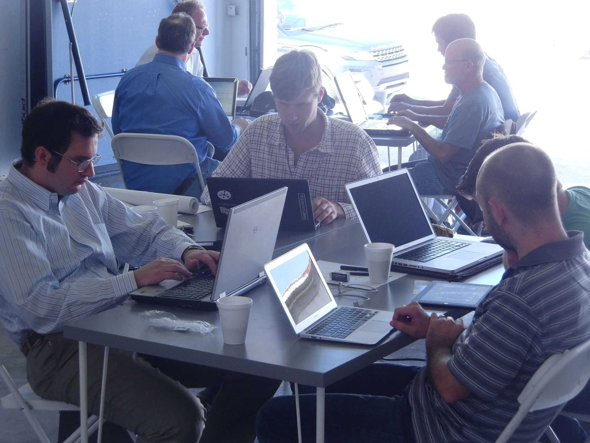
The Foundations in geocomputing course provides a good foundation. This Next steps course goes further into some of the same topics, but also introduces some new ones. The emphasis is on building the skills needed by a geoscientist in a technical organization. We focus on geological and geophysical workflows, like tying wells, predicting well logs, and making maps.
By the end of the course, learners will have written small Python programs that they can share with others. We also build a clearer picture of the world of scientific data analysis and how it applies to their own work. Students leave with a good idea of how to continue to improve their skills after the course.
Duration: We recommend allowing at least 2 days for this course.
Next: Follow this course with an in-house hackathon or Machine learning for geoscientists.
Instructor-to-student ratio: One instructor per 10 students.
Pricing: See training page. There are discounts for large groups or multiple runnings of the course; tell us what you need.
Interested? Let's talk about the options!
Topics
Running scripts
More about matplotlib
Interactive Notebooks
Image segmentation
Wavelet estimation
Command line interfaces
Testing
See Modules 3 and 4 in the Geocomputing curriculum for more details


 Except where noted, this content is licensed