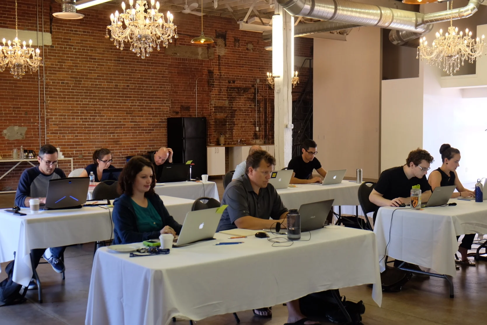
Do you feel trapped by the menus of desktop applications? Learning some of the tools of computational geoscience will change how you explore data, make visualizations, and develop new ideas. We can help you get started.
In this course, we introduce you to the Python programming language, and the wonderful world of scientific computing. Starting from print (“Hello, world!”), we use familiar examples from geology and geophysics to help you learn the fundamentals. Unlike most Python courses, all of our material uses examples and data from the subsurface.
Duration: We recommend allowing at least 3 days for this course.
Next: Follow this course with Next steps in geocomputing or Machine learning for geoscientists.
Instructor-to-student ratio: One instructor per 10 students.
Pricing: See training page. There are discounts for large groups or multiple runnings of the course; tell us what you need.
Interested? Let's talk about the options!
Topics
Python syntax
Function definitions
Numerical tools
Scientific plotting
Reading data files
Dealing with images
Documentation
Testing
Source control
See Modules 0, 1, and 2 in the Geocomputing curriculum for more details
Earn 50% off!
We occasionally offer this course as a public course, usually in Calgary, Houston, or Stavanger.
If there's no planned course in your area, you can earn a 50% discount by helping us organize a public course in your city. We usually need about 8 participants to make it work. Get in touch using the form.

 Except where noted, this content is licensed