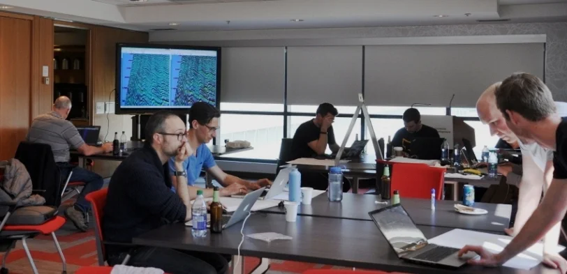
Learn to solve geoscience problems with machine intelligence.
In 4 days.
In this module, we explore the Pandas and Scikit-learn packages for machine learning tasks using real-world geoscience data examples. Students will gain a good overview of how to look at large datasets and solve problems with state-of-the-art data science tools.
We will answer questions like:
- What is it that you’re trying to solve? How can machine learning help?
- What's the difference between supervised and unsupervised methods?
- What's the difference between classification and regression?
- How can we choose a model, and tell when we have a good one?
- How can we improve the performance of our model?
It is recommended that you take Foundations in geocomputing and/or Next steps in geocomputing before this course.
Duration: We recommend allowing 2 days for this course. We can only do supervised classification in 1 day.
Next: Follow this course with an in-house hackathon.
Instructor-to-student ratio: One instructor per 10 students.
Pricing: See training page. There are discounts for large groups or multiple runnings of the course; tell us what you need.
Ready to find out more? Get in touch!
Topics
- Recognizing tasks
- Loading data to Pandas
- Data exploration
- Data cleaning
- Feature engineering
- Supervised learning
- Classification
- Regression
- Performance metrics
- Model selection
- Choosing hyperparameters
- Unsupervised learning
See Module 5 in the Geocomputing curriculum for more details


 Except where noted, this content is licensed